




Description
Humminbird Coastmaster Charts
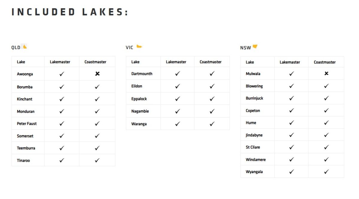
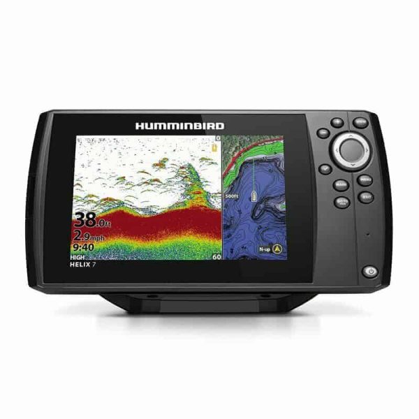
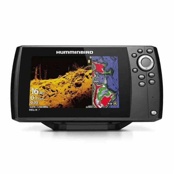
We’ve got you covered with never before seen detail of the Australian coastline. Always know where you are and what’s ahead with full chart detail of the entire Australian coastline as well as over numerous lakes throughout the country.
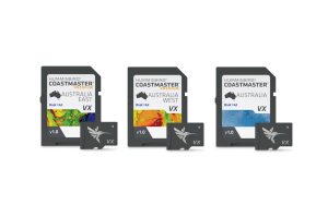
Coastmaster is available in Standard and Premium. The CoastMaster Standard & Premium cards include all the features other than Shaded relief and Aerial Imagery which is only available on the Premium. Shaded relief offers high detail shading in areas of high data and aerial imagery offers both land and water aerial imagery showing great detail of shallow reefs, sand flats as well as areas with poor or no chart data. The chart boundaries are the NT and QLD border in the North and the Great Australian Bight in the South.
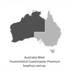
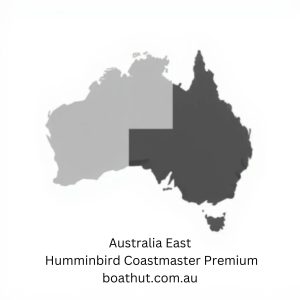
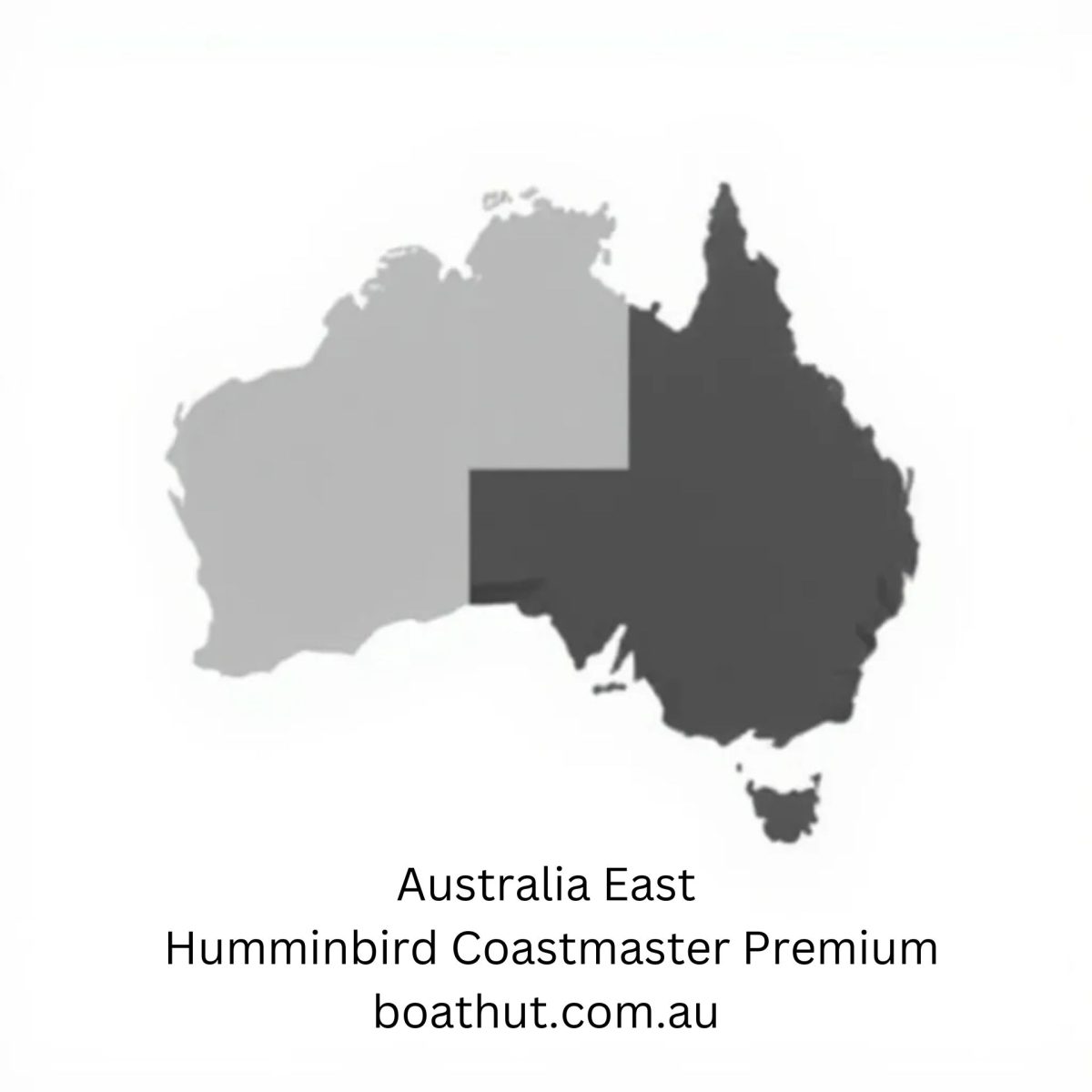
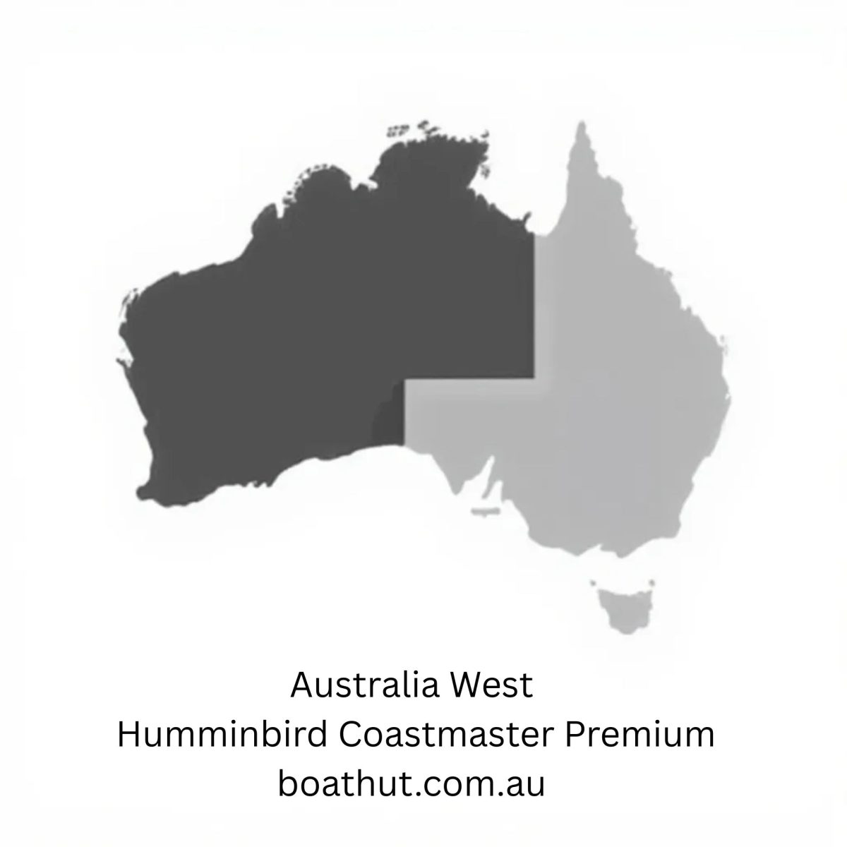
For an added angling advantage, opt for Humminbird CoastMaster Premium Marine Charts 103981 East & 103982 West. These charts include region-specific coverage and all the features of CoastMaster, with a few key additions (not included with 103980 Standard Chart):
- 2D Shaded Relief – Makes bottom detail and depth changes easy to spot
- Enhanced Aerial Imagery – Navigate confidently and find new fishing spots
- Auxiliary Contours – Provides additional contours in shallow water areas
- Bottom Hardness – Helps anglers identify bottom composition and key fish-holding areas
Features – All Models
- VX TECHNOLOGY
Don’t delay. VX technology provides five customisable colour palettes and fast map load times, so you can seize every moment on the water. - DEPTH HIGHLIGHT
Create up to four user-defined depth highlight ranges, so you can easily target productive water and stay in the bite zone. - SHALLOW WATER HIGHLIGHT
Navigate safely and quickly identify spots where fish are hiding with red shading highlights for shallow water areas on an adjustable range from zero to 30 feet. - WATER LEVEL OFFSET
Synchronize the depth contours and shorelines of your CoastMaster charts with the actual water levels, so that your chart will reflect the current water level of your fishing spots. - NAVIGATE WITH CONFIDENCE
In addition to exclusive features designed for saltwater fishing, CoastMaster gives you access to a wealth of navigational data to make your next trip safe and successful. View navigation aids, artificial reefs, points of interest, and marina information.
For additional details visit https://humminbird.com.au/coastmaster-charts/


Reviews
There are no reviews yet.